tree public squares

FŪDO 風土 — How Climate Becomes Culture in Japan

fūdo · 風土

A travelogue of Japan — north to south

Traveling Japan north to south, kept finding fūdo — the way each climate shapes its own beauty, food, festivals and faith. This is record of those encounters. 

scroll south — into the archipelago ↓

n43.6°
steam
n37.3°
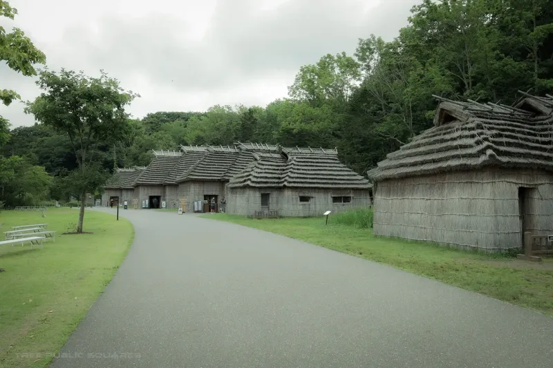
thatch
n31.6°
ash
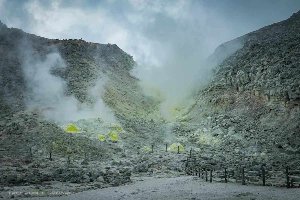
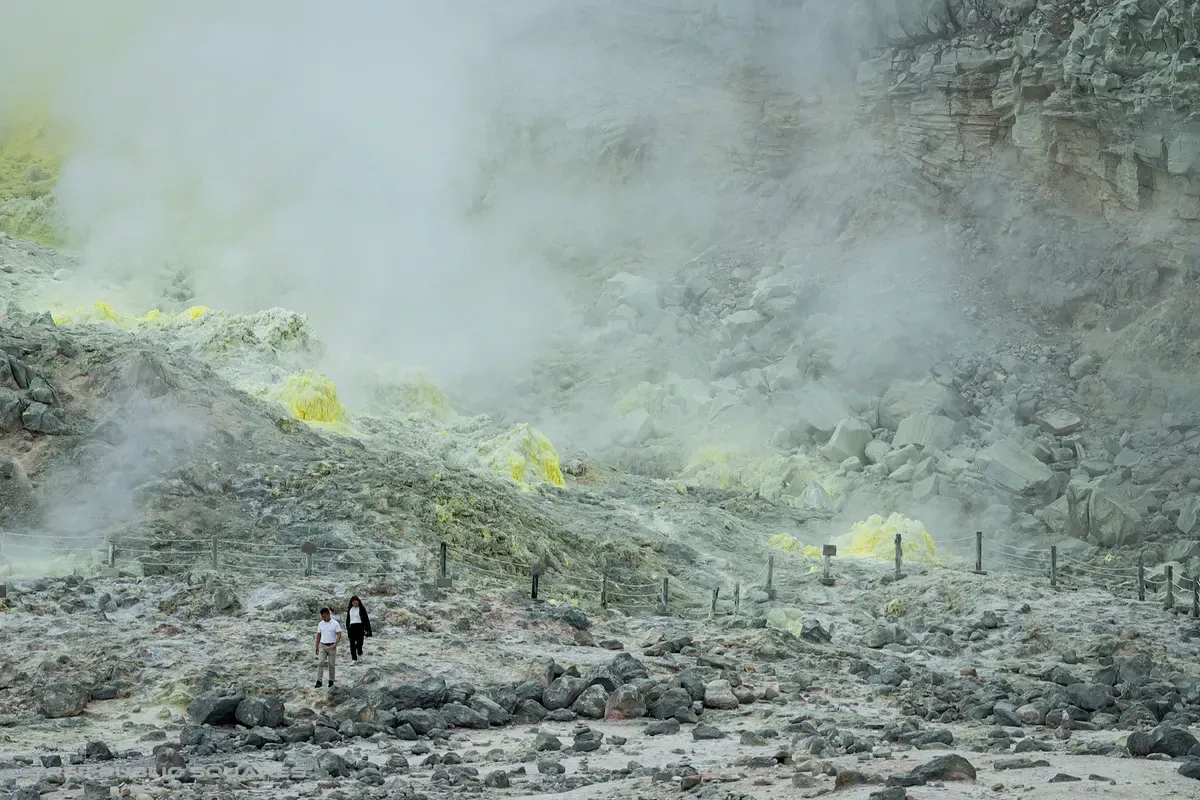
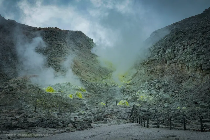
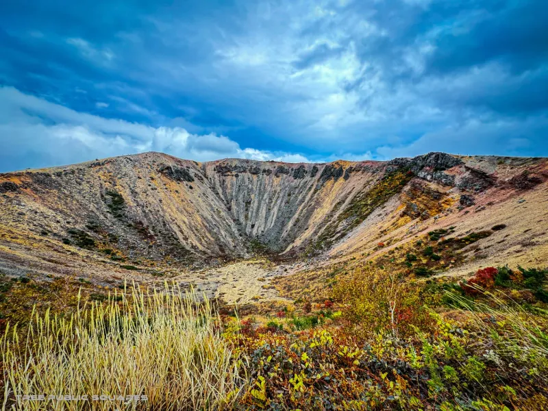
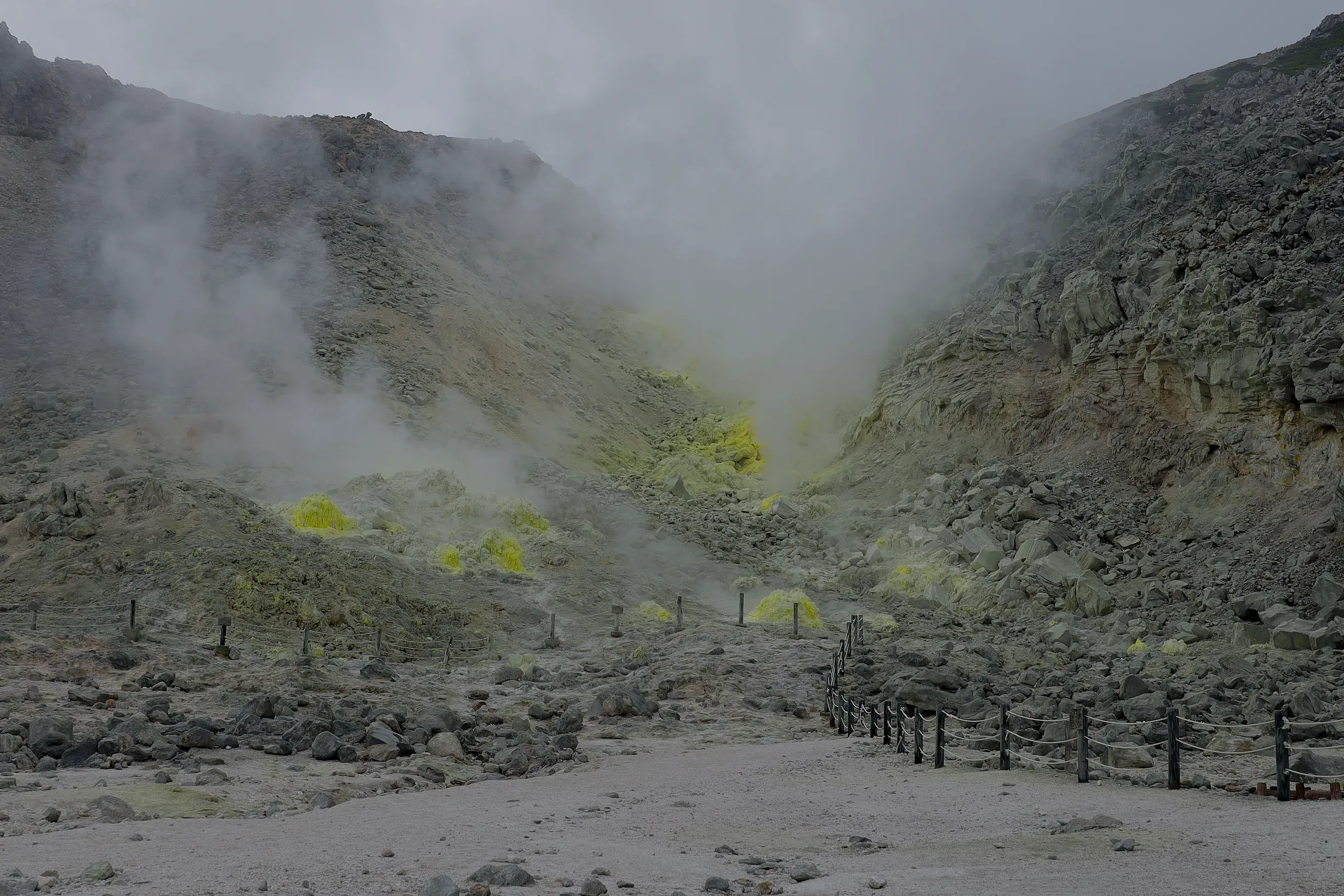
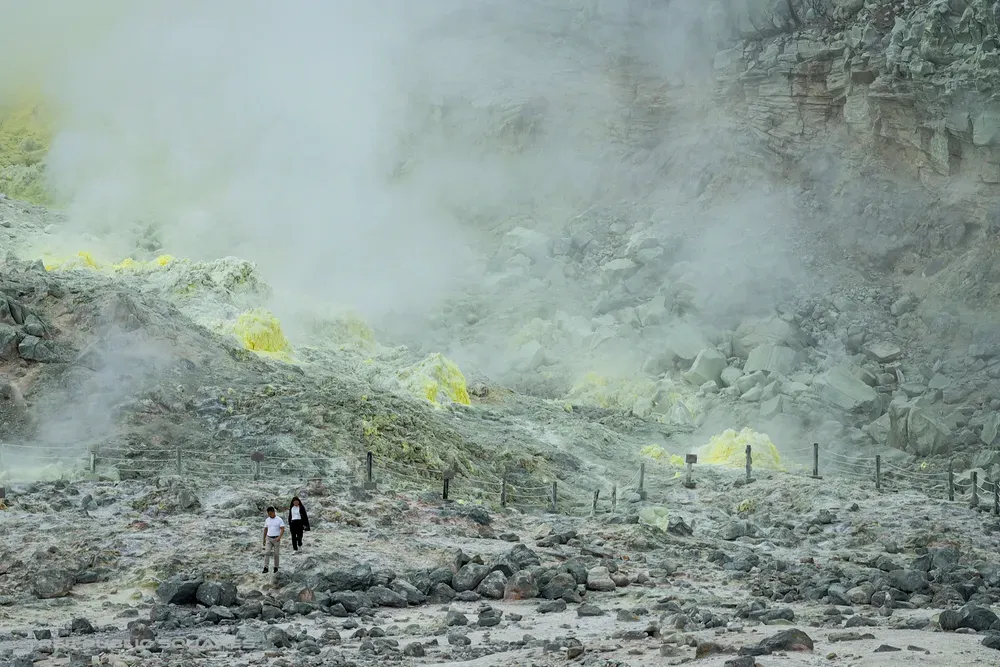
Steam rising from the yellow sulfur fumaroles of Mt. Iō, a roped path leading into the valley, Hokkaido
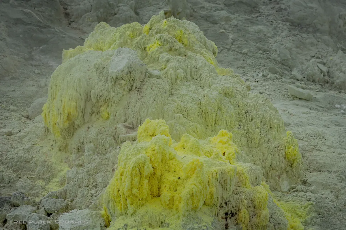
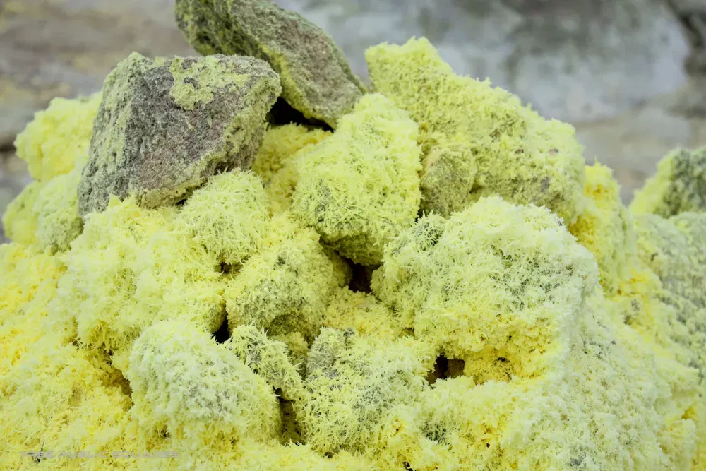
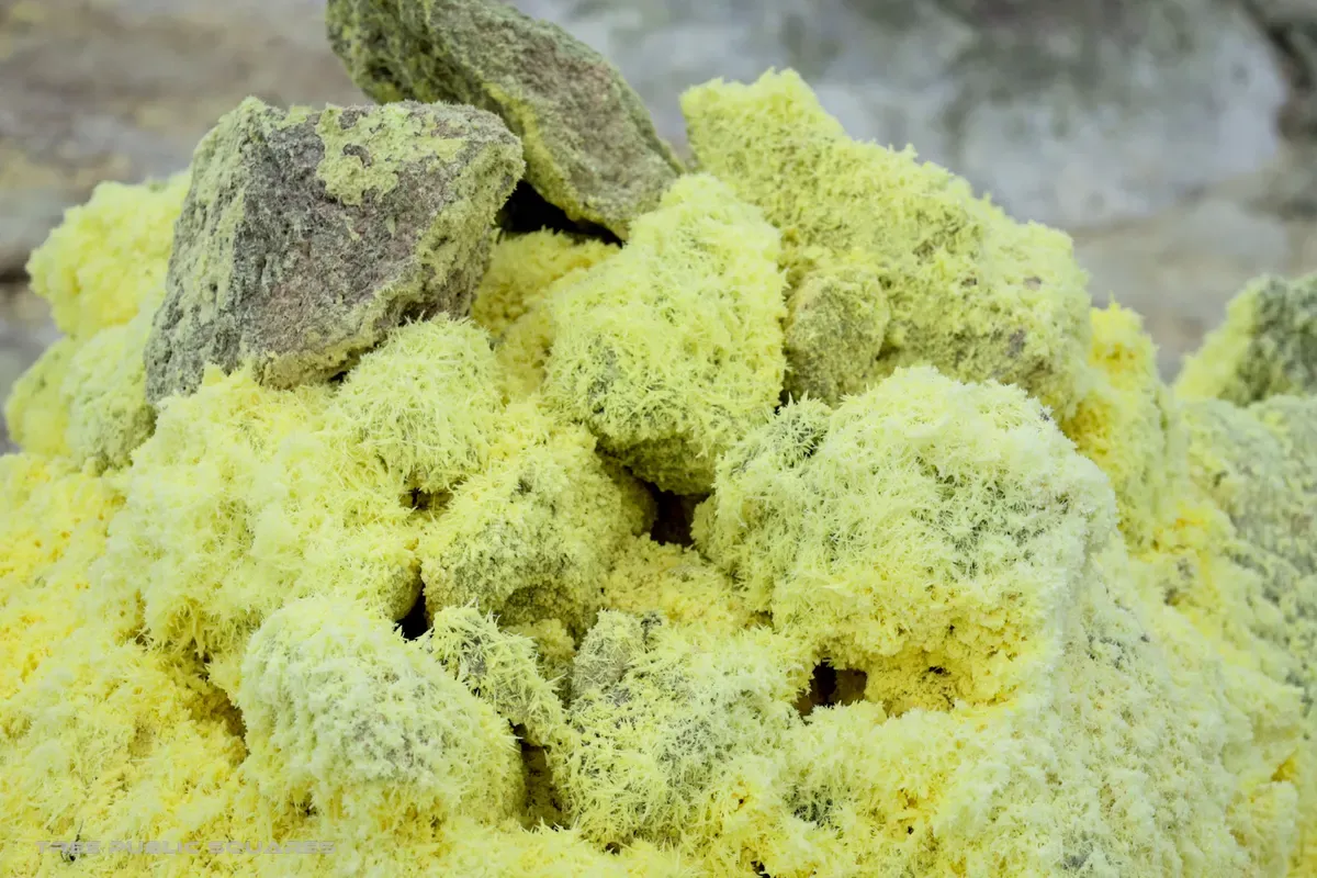
Bright yellow sulfur crystals crusting the volcanic rock of Mt. Iō
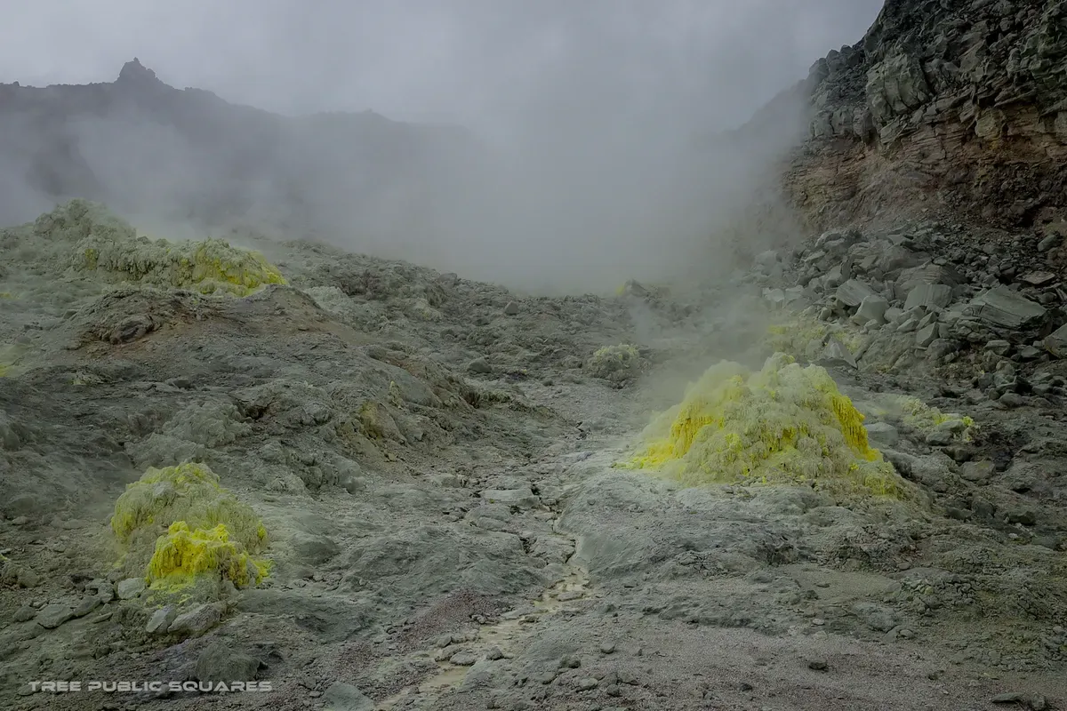
Volcanic mist drifting over the grey slopes of Mt. Iō
硫黄山

no.01 — onsen

n 43.61° / e 144.44°

subarctic / mean +5°c

ainu: atosa-nupuri

arrived — kawayu onsen, hokkaido

Mt. Iō

fūdo — why this place is what it is

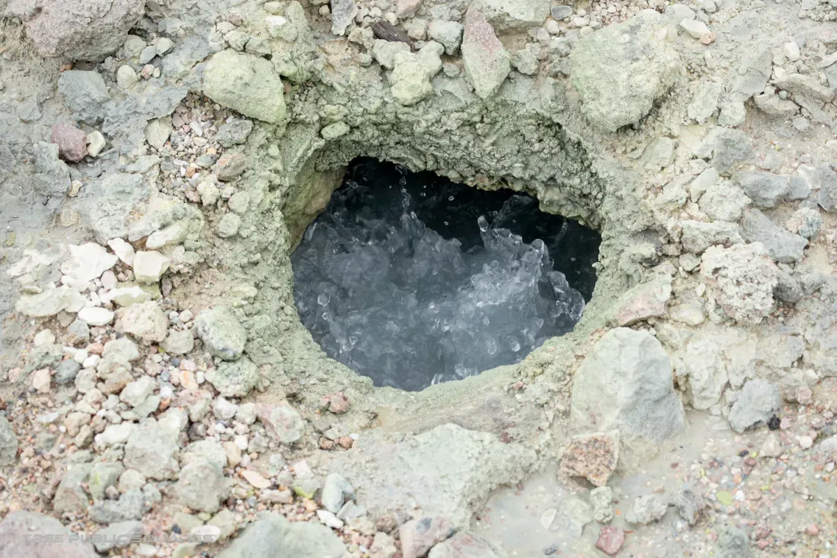
This is subarctic Japan — Ainu land, where winters sink below −25°C. The Ainu named the mountain Atosa-nupuri, “the naked mountain”: too much sulfur for trees to grow. The town below pipes the volcano’s heat into its baths and its homes. Culture here is geothermal.

Season
May – October. Winter turns the caldera into a silent white field.
Access
3 km from JR Kawayu-Onsen Sta. (Senmo Line).
Onsen
Free foot baths in town; waters acidic enough to soften a coin.
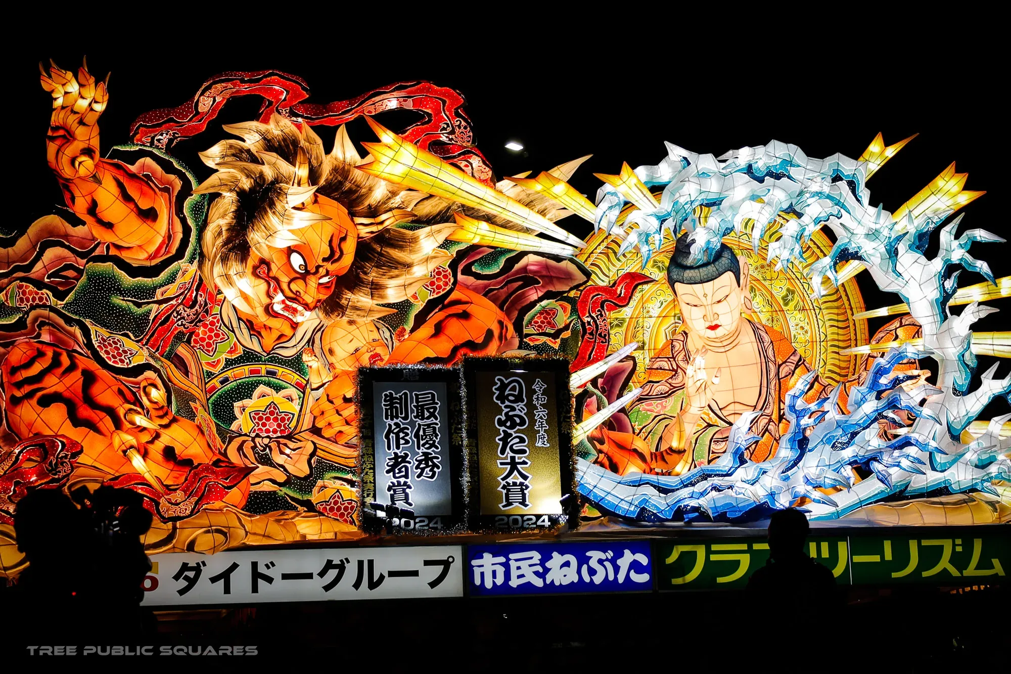
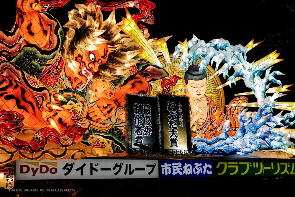
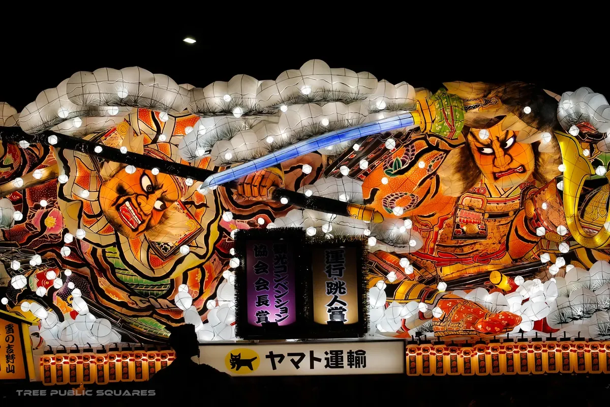
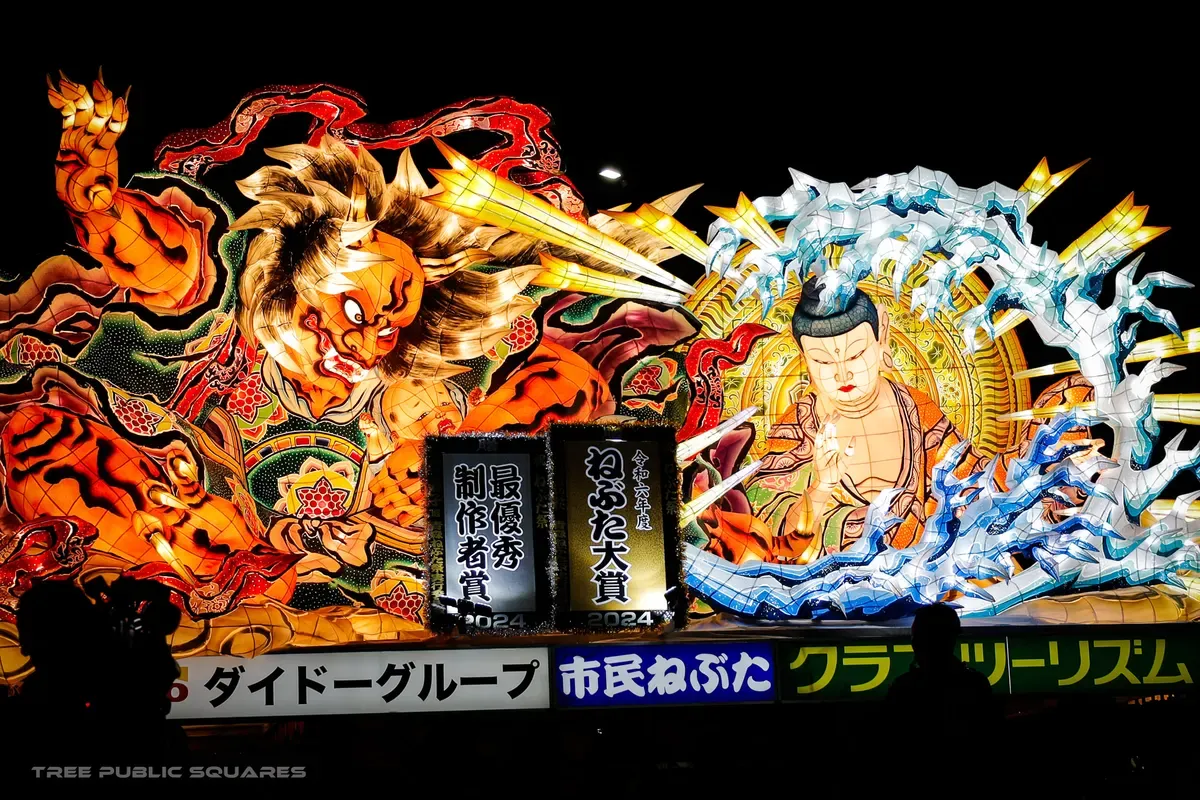
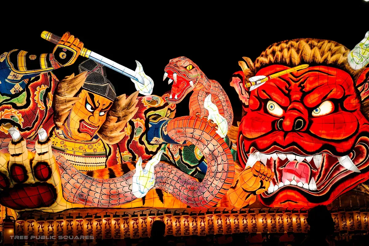
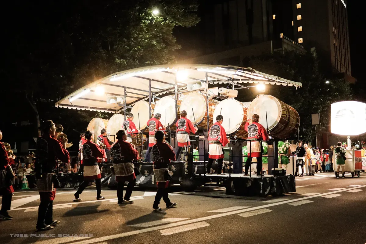
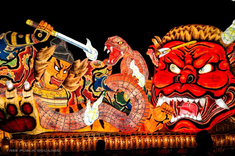
A giant illuminated Nebuta float of a fierce red demon at night, Aomori
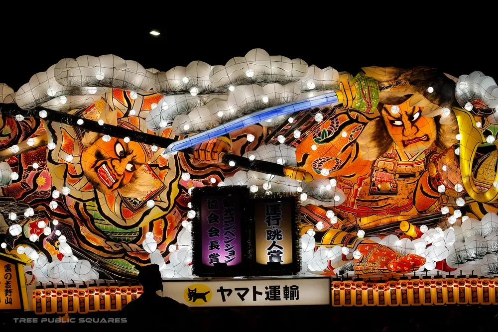
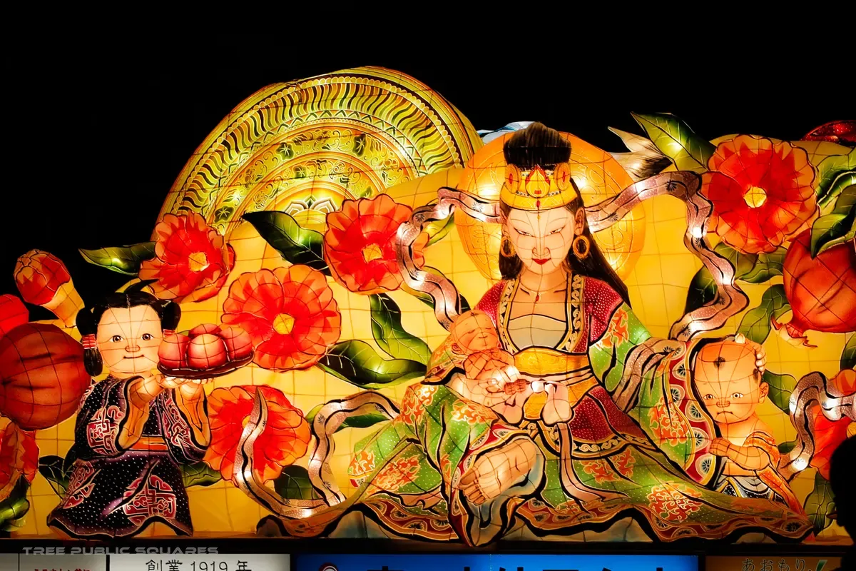
Warrior Nebuta float glowing from within, washi paper over wire
Nebuta float of a coiling dragon lit from inside
ねぶた祭

no.02 — matsuri

n 40.82° / e 140.75°

snow country / 8 m a year

ends on risshū, aug 7

arrived — aomori city, tohoku

Nebuta Matsuri

fūdo — why this place is what it is

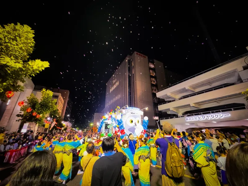
Aomori spends half the year under some of the heaviest snow of any city on Earth — roughly eight metres of it. Nebuta is what that long patience looks like the moment it lets go: the shortest, loudest summer in Japan, six nights that end on Risshū — the old calendar’s first day of autumn.

When
August 2 – 7, every year. The final night ends on the sea, with fireworks.
Access
10 min on foot from JR Aomori Sta.
Off season
Nebuta Museum WA RASSE shows award-winning floats year-round.
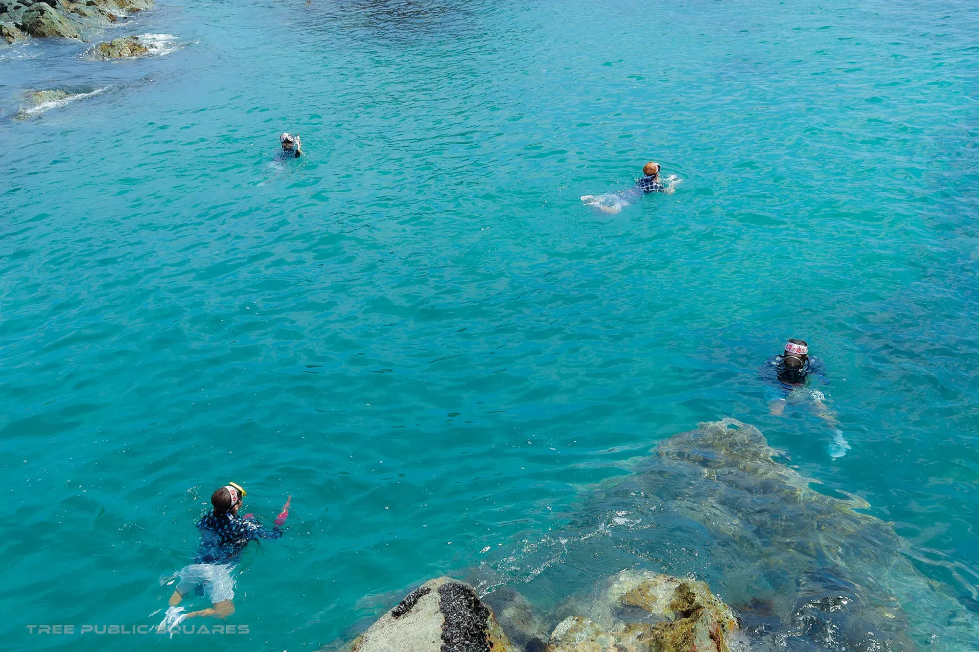
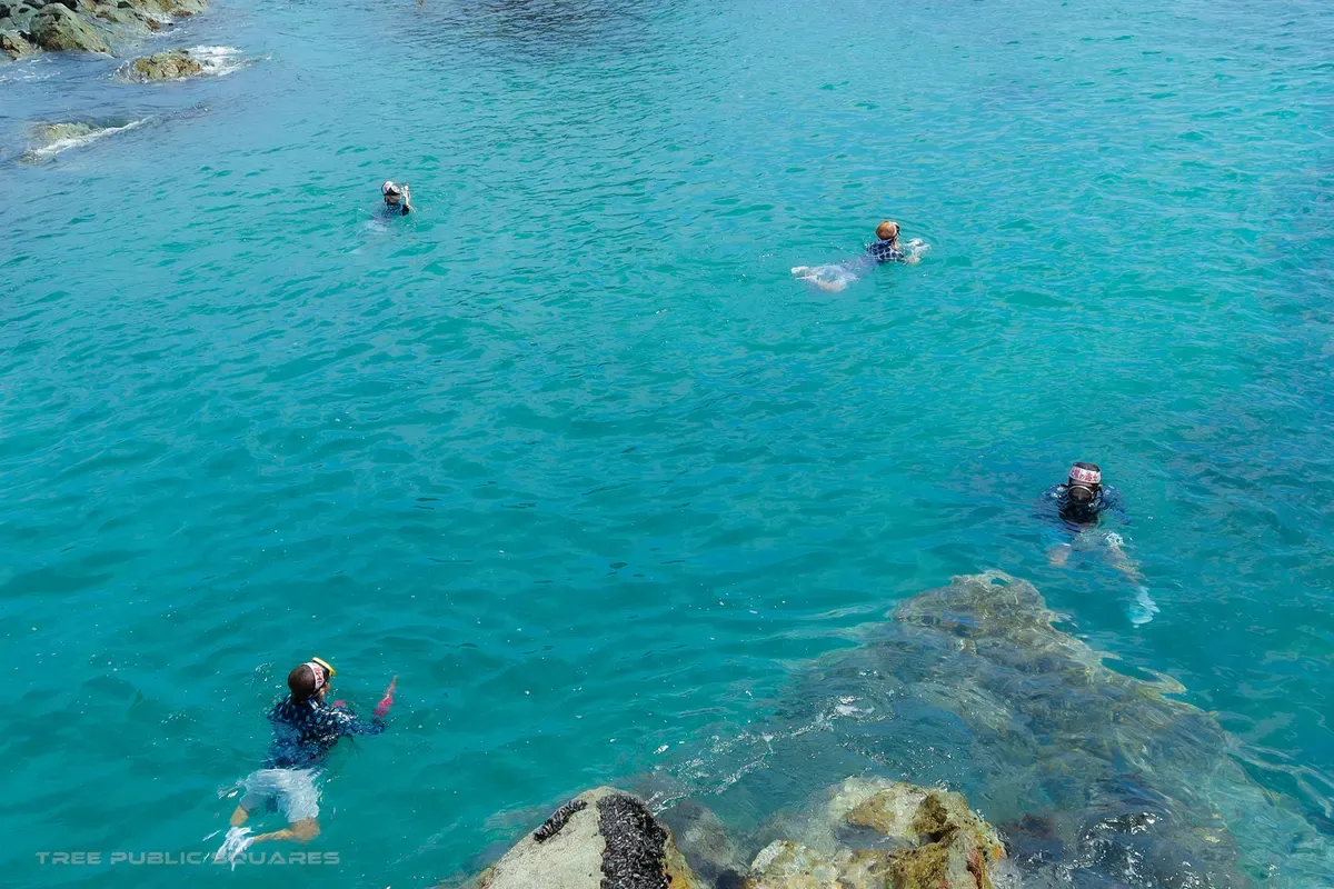
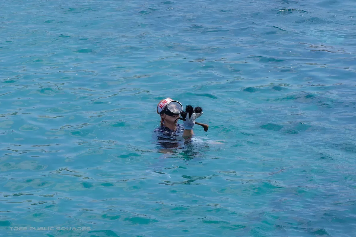
Ama free-divers working the cold turquoise water off the Kosode coast, Iwate
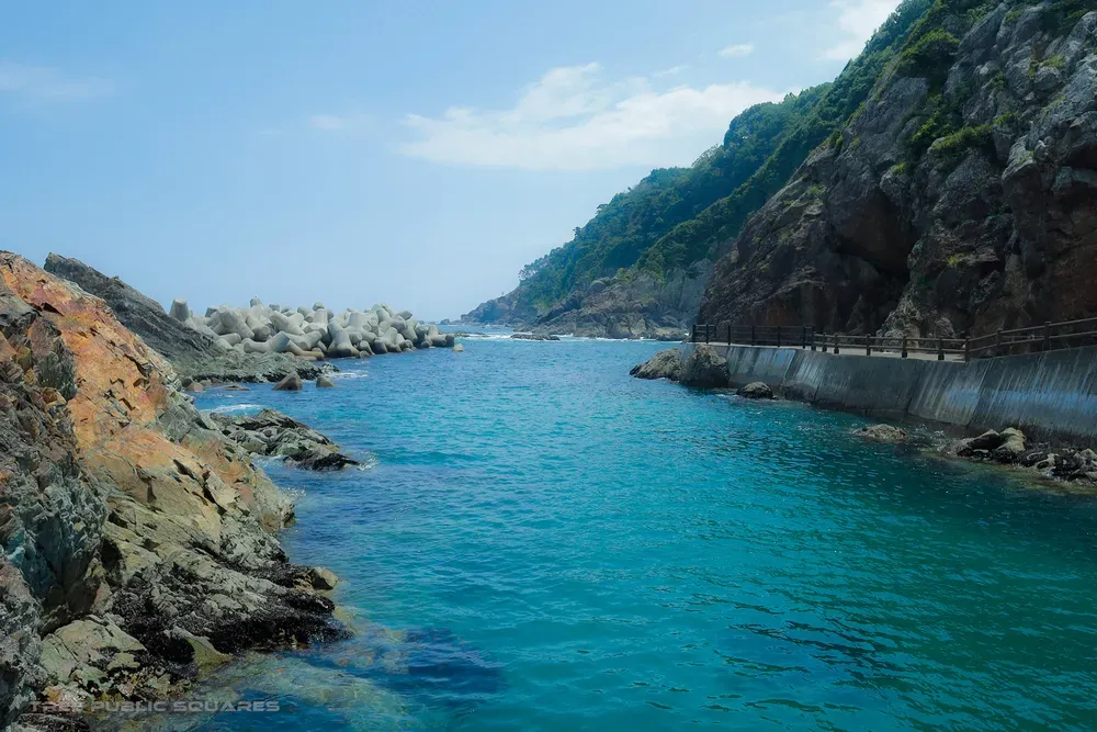
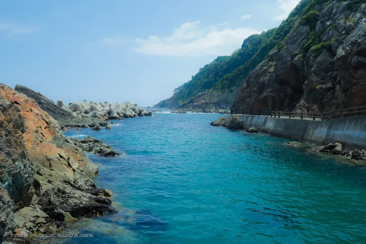
A turquoise cove and cliff path on the Kosode ria coast
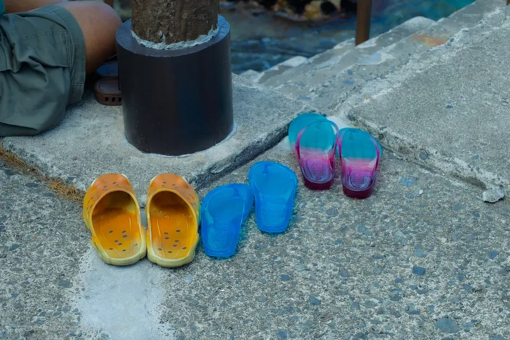
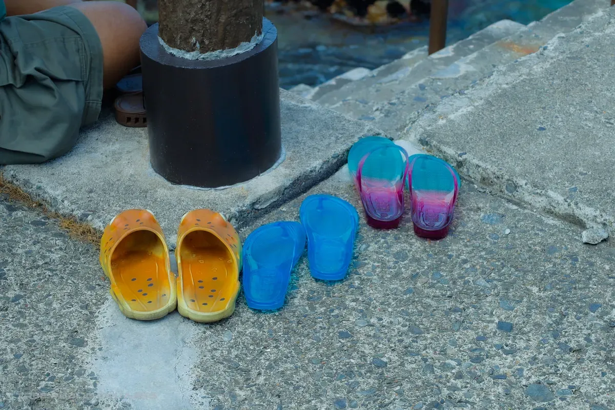
Brightly coloured buckets and diving gear of the ama sea-women
小袖海岸

no.03 — ama

n 40.19° / e 141.81°

oyashio cold current

kuji — the sea-women’s coast

arrived — kuji, iwate

Kosode Coast

fūdo — why this place is what it is

The cold Oyashio current runs down this ria coast, keeping the water bracing even in August — and richly stocked. For generations the women of these inlets have free-dived for sea urchin and abalone on a single held breath. The current sets the harvest; the harvest built a culture led by its divers, the ama.

Best time
Summer, when the ama dive for sea urchin.
Access
~20 min by car from JR Kuji Sta. (Sanriku Railway).
Note
Setting of NHK’s “Amachan”; live ama diving demonstrations in season.
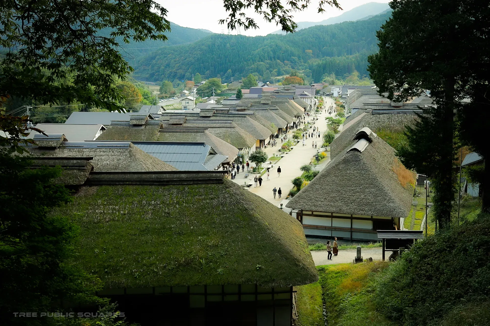
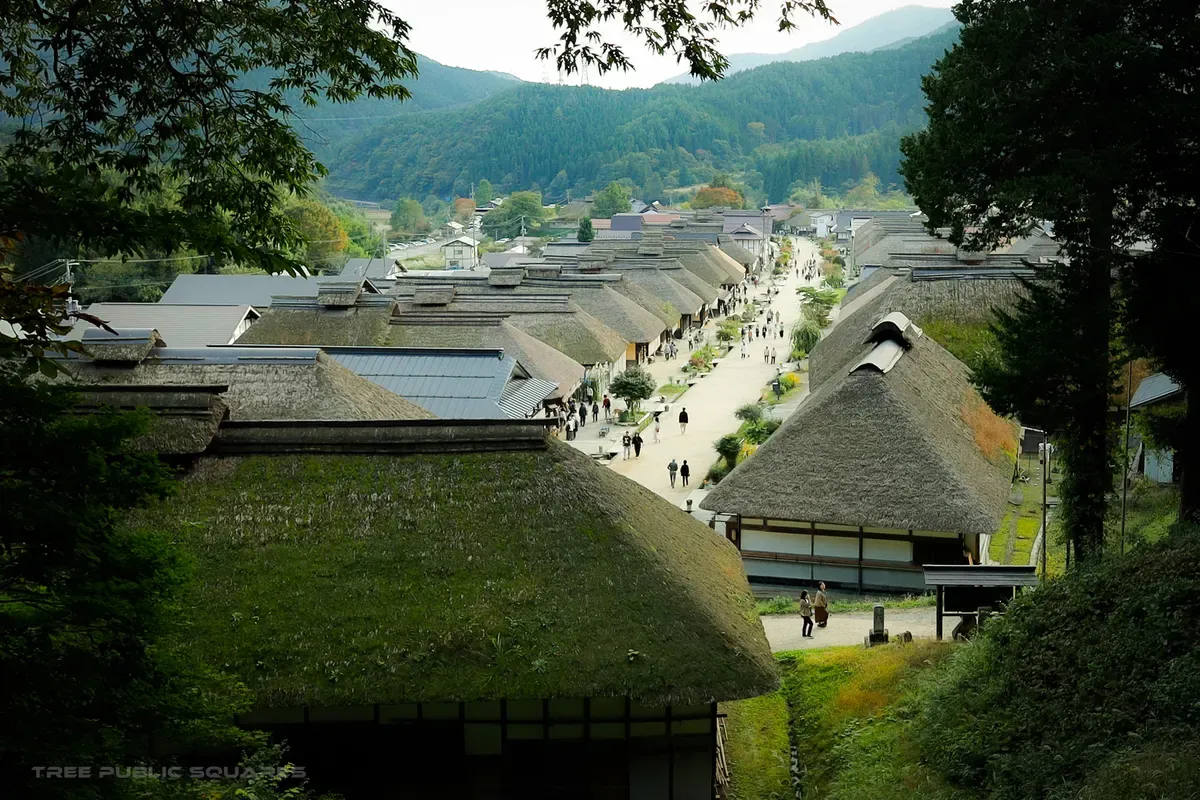
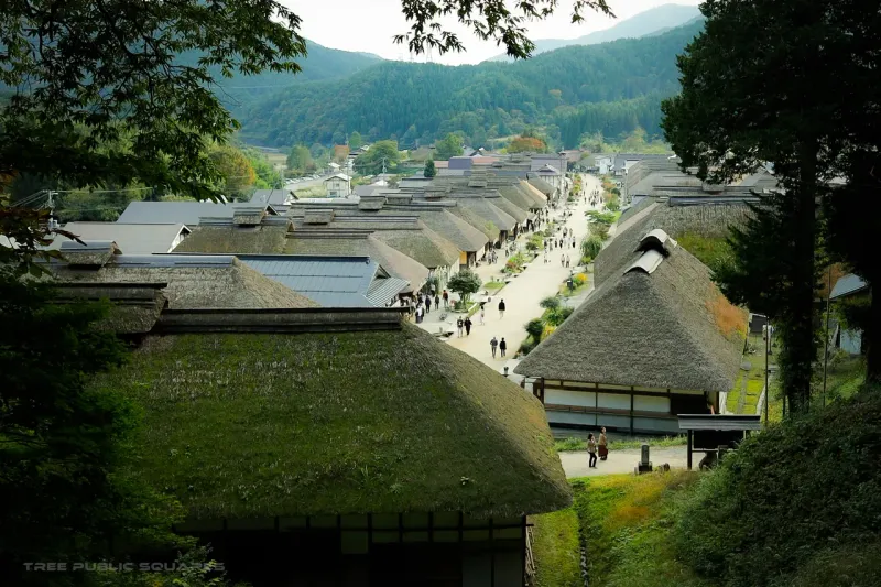
The thatched-roof post town of Ouchijuku seen from the hill above, Fukushima
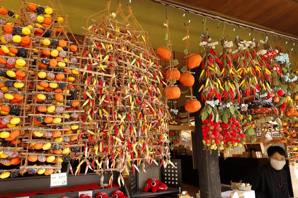
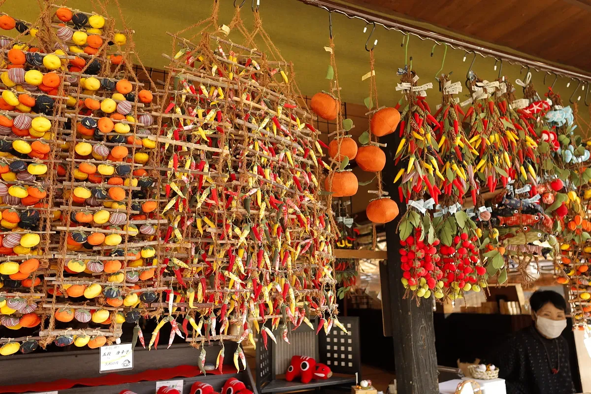
Strings of persimmons drying under the eaves of a thatched house
Snow-dusted stone jizō statues at Ouchijuku
大内宿

no.04 — post town

n 37.30° / e 139.86°

snow country / ~2 m

aizu-nishi road, edo relay

arrived — shimogō, fukushima

Ouchijuku

fūdo — why this place is what it is

This was a relay station on the Aizu-Nishi road, deep in snow country — up to two metres of it a winter. The thick thatched roofs are an answer to that snow: steep enough to shed it, heavy enough to hold the heat in. The village kept its Edo form because the weather, and the mountains, held the modern world at arm’s length.
Season
Year-round; deep snow Jan–Feb, persimmons in late autumn.
Access
Bus from Yunokami-Onsen Sta. (Aizu Railway).
Note
Important Preservation District; ~40 Edo-era thatched homes.
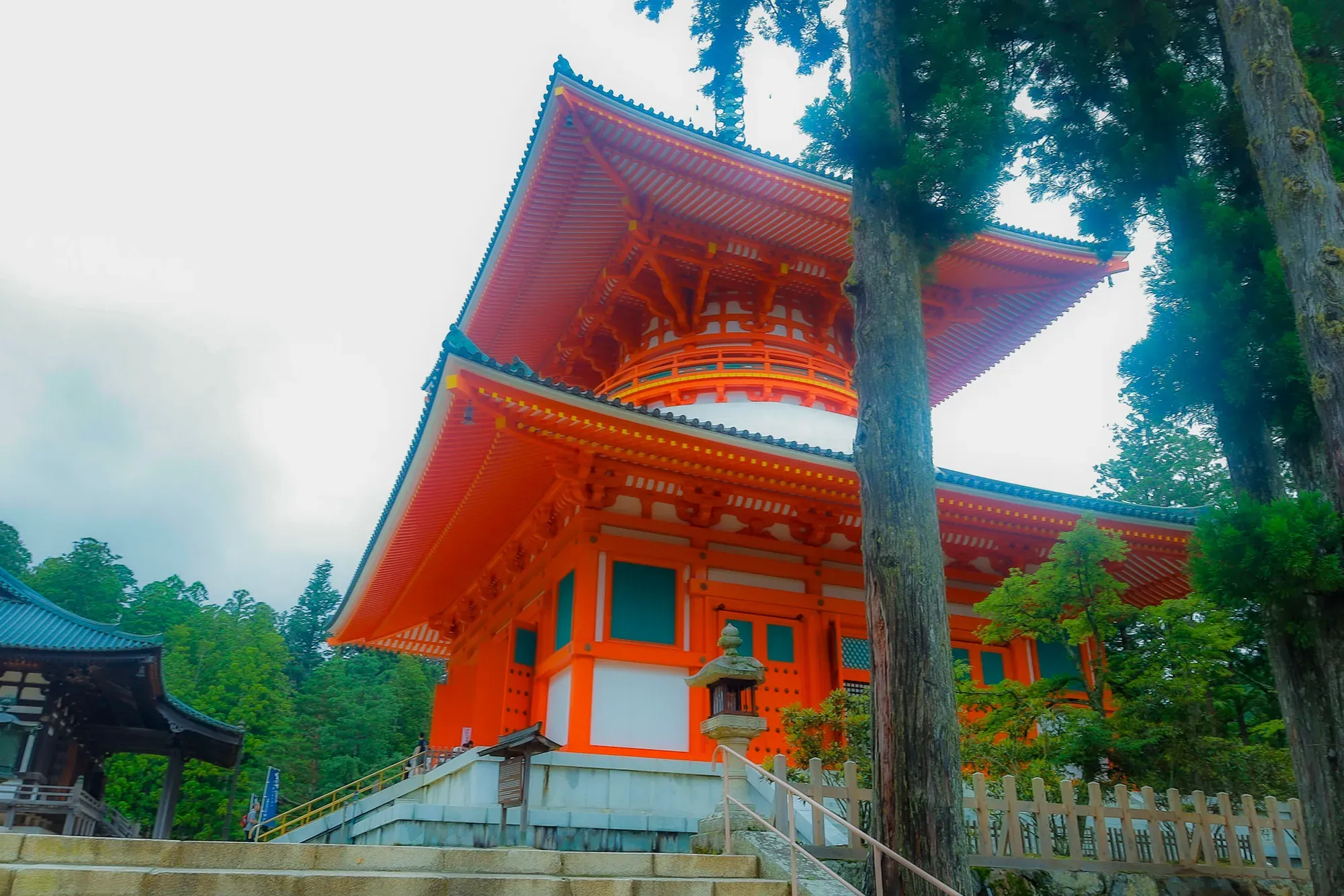
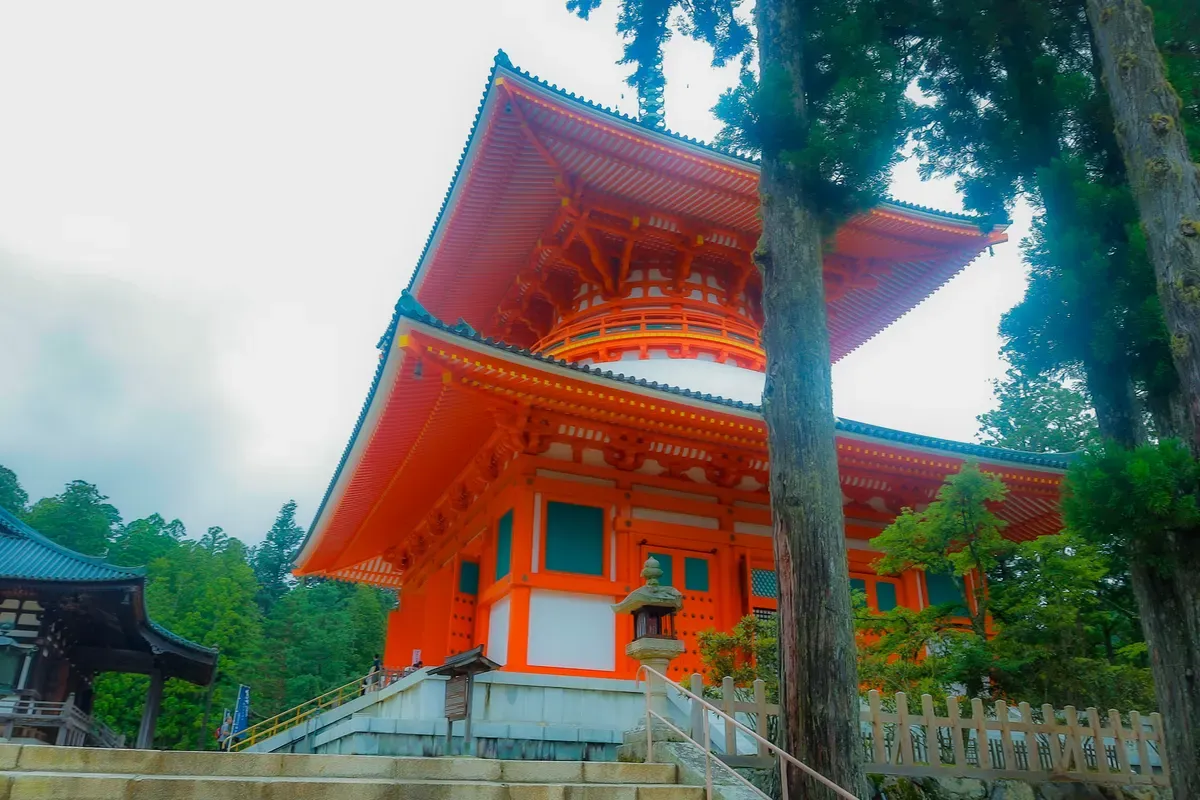
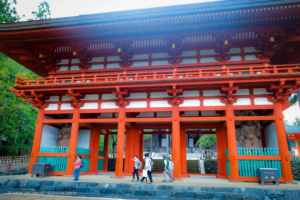
The vermilion Konpon Daitō pagoda of Kōyasan rising into mountain mist
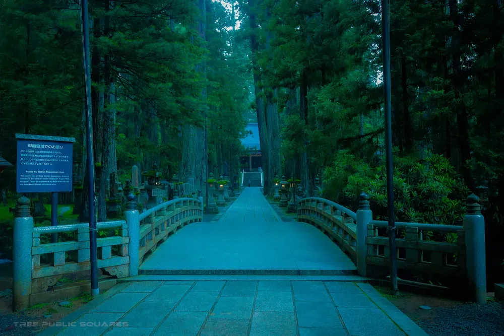
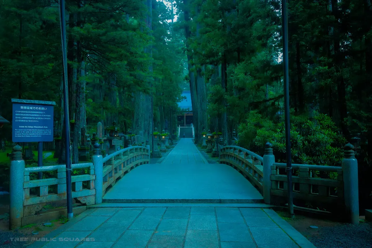
The cedar-lined approach to Okunoin, Kōyasan
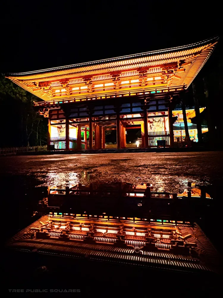
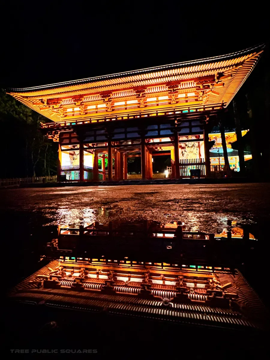
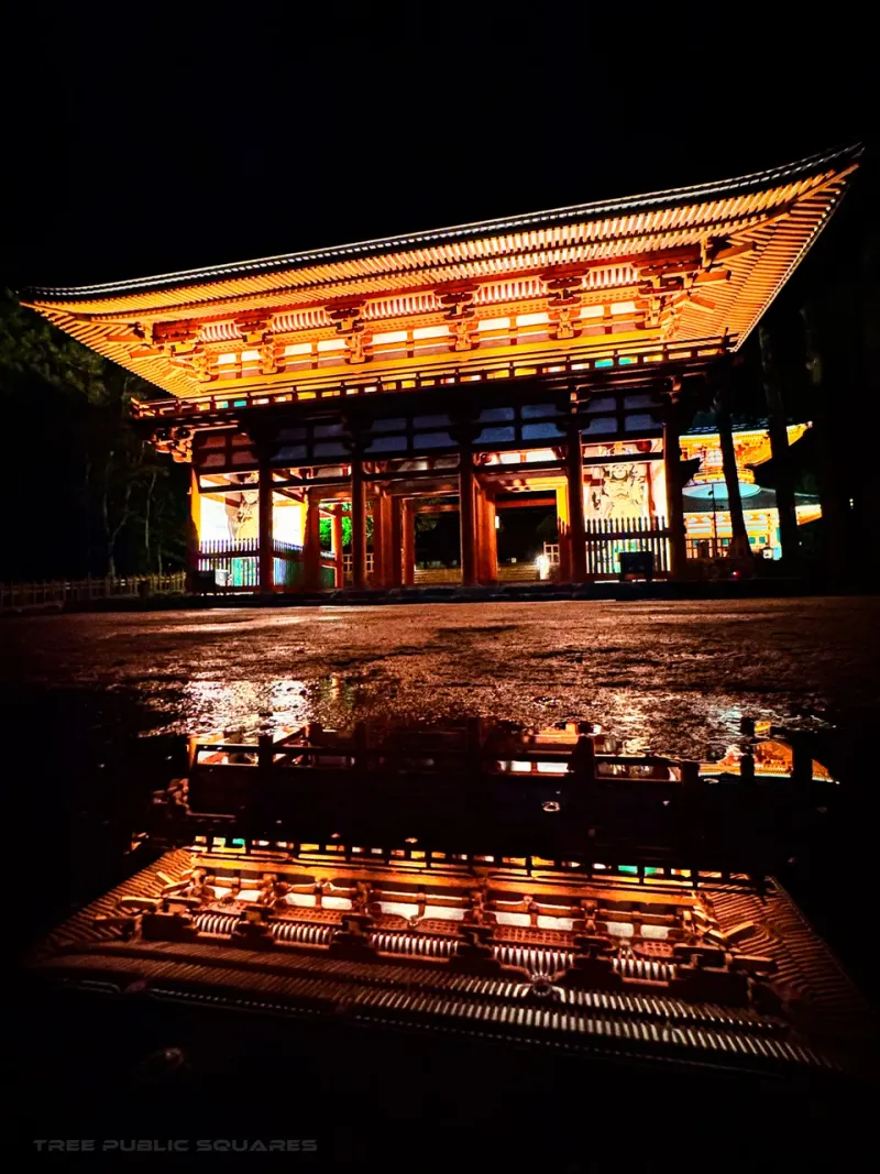
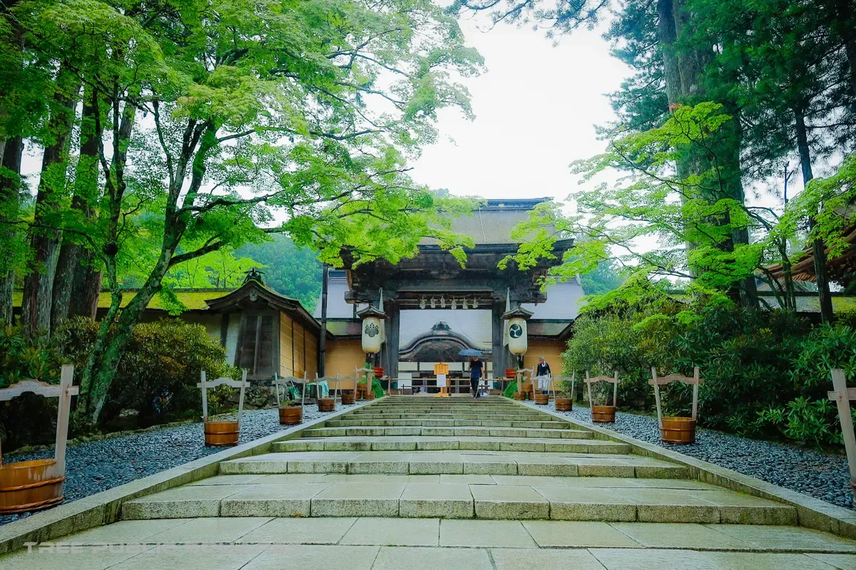
A lantern-lit temple gate reflected in wet stone at night, Kōyasan
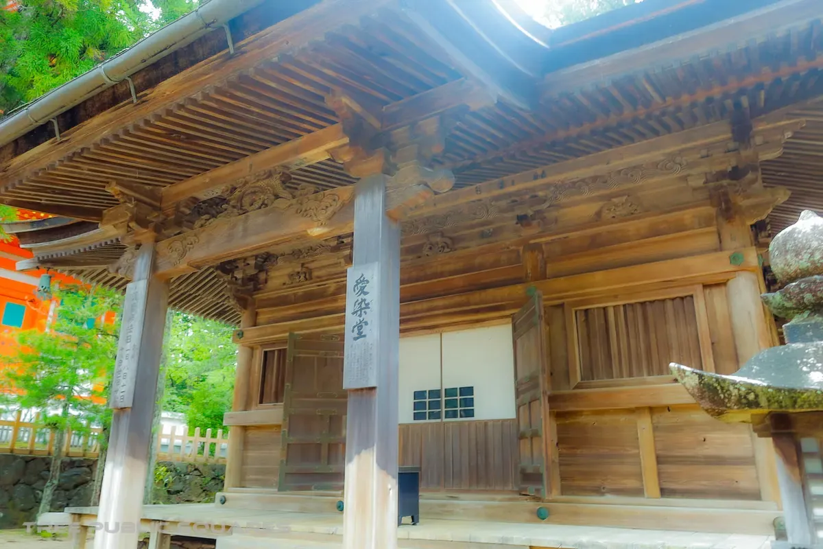
高野山

no.05 — kōyasan

n 34.21° / e 135.59°

highland 800 m / fog

1,200 years of shingon

arrived — kōya, wakayama

Kōyasan

fūdo — why this place is what it is

Kōbō Daishi chose this ring of eight peaks in 816 for a reason: a cool, mist-pooled basin 800 metres up, cut off enough to hold a thousand years of esoteric Buddhism. The mountain keeps the weather — and the dead. Okunoin’s cedar avenue shelters more than 200,000 graves under near-perpetual fog.

Best time
Early-morning fog; autumn colour in late October.
Access
Cable car + bus from Gokurakubashi Sta. (Nankai Line).
Note
UNESCO World Heritage; temple lodging (shukubō) available.
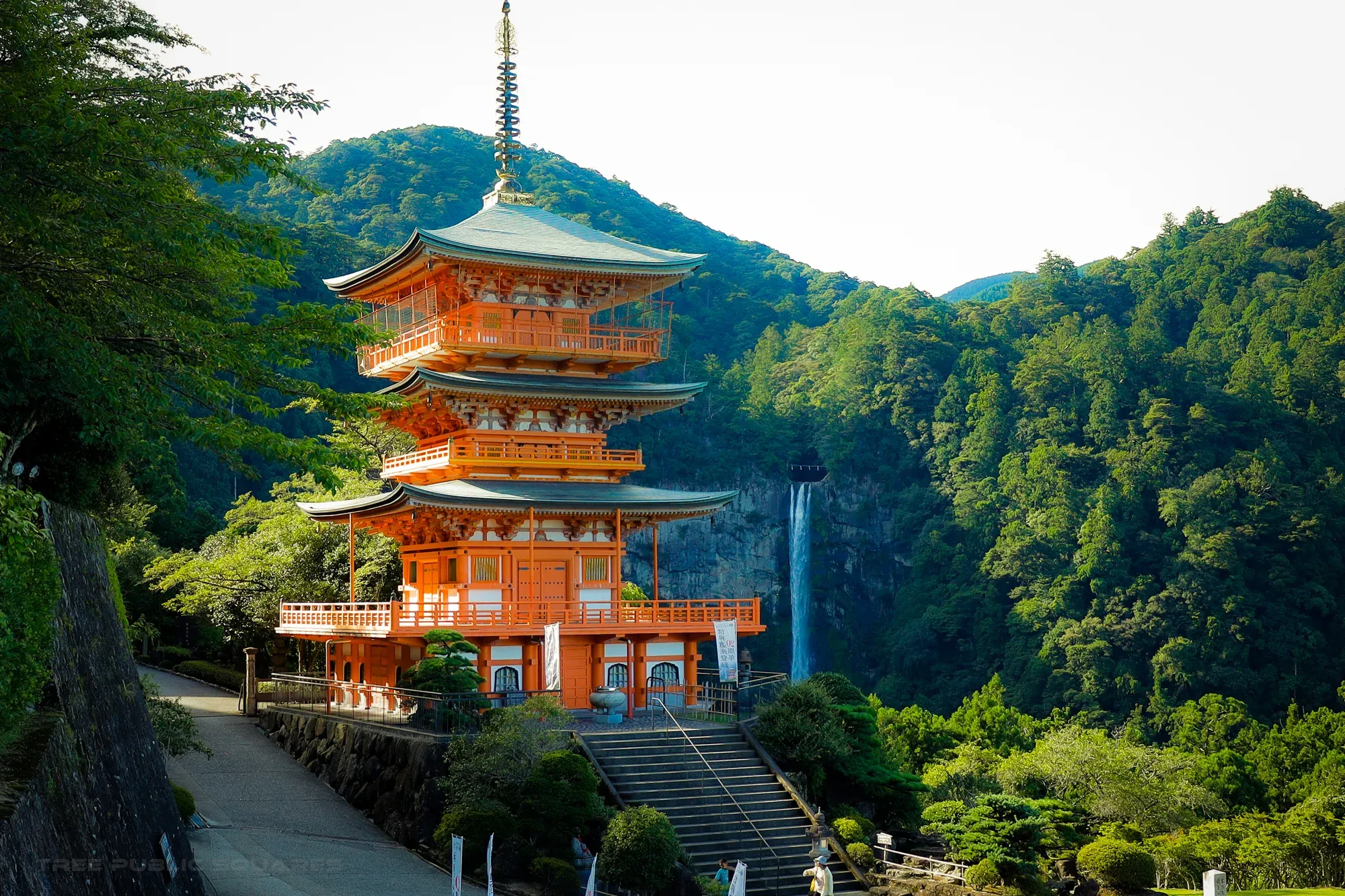
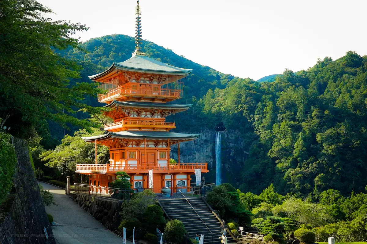
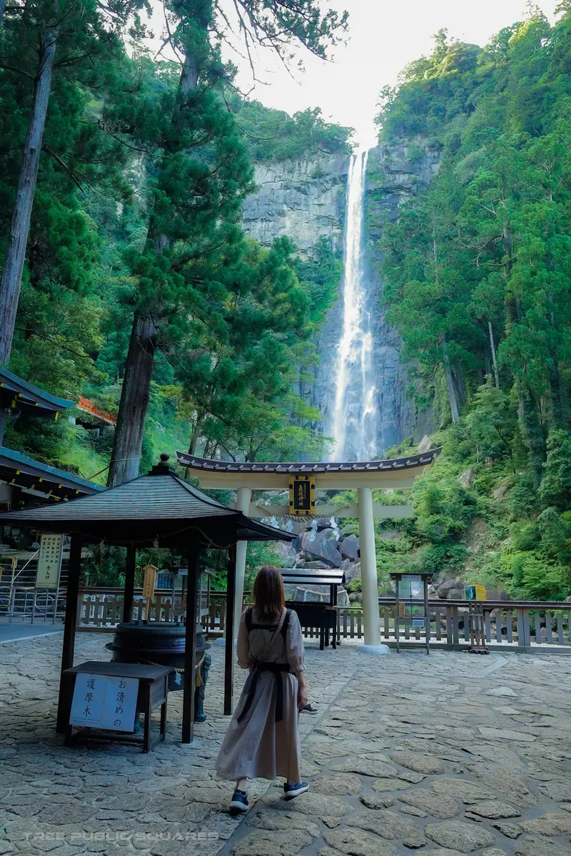
The three-storey pagoda of Seiganto-ji standing beside the Nachi Falls, Wakayama
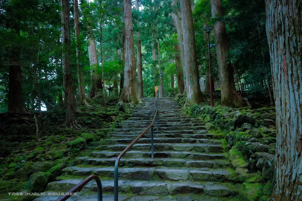
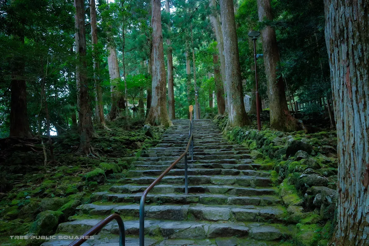
Moss-covered stone steps of the Kumano Kodō pilgrimage trail
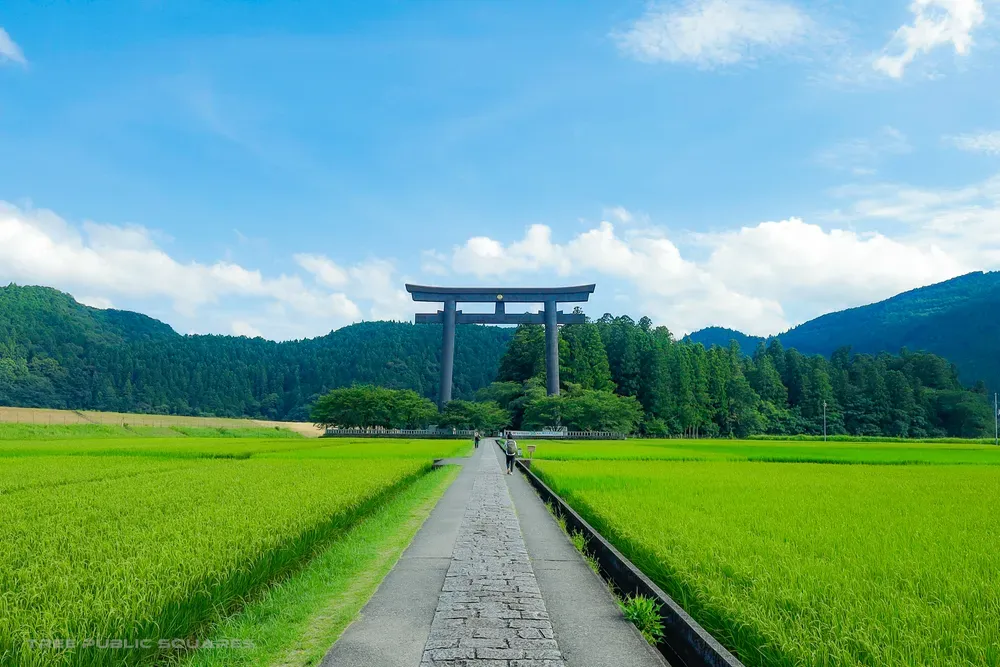
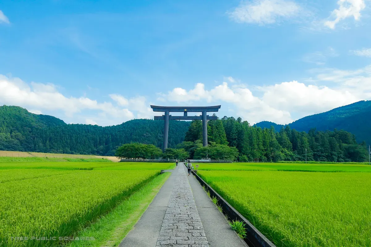
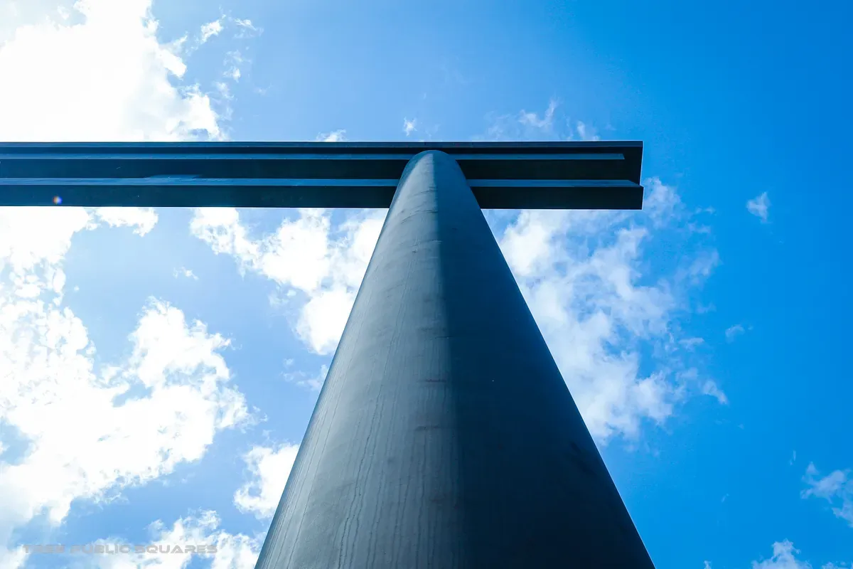
The great torii of Ōyunohara standing over rice fields, Kumano
熊野那智

no.06 — kumano

n 33.67° / e 135.89°

kuroshio rainbelt

nachi falls — 133 m

arrived — nachikatsuura, wakayama

Kumano · Nachi

fūdo — why this place is what it is

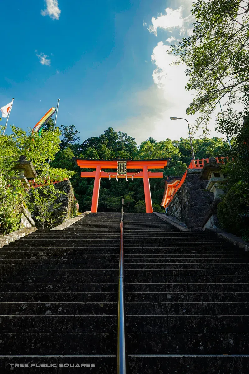
The warm Kuroshio loads this coast with rain — the Kii Peninsula is among the wettest places in Japan — and the rain made the forest, the waterfalls, and the gods. Nachi’s 133-metre fall has been worshipped as a deity in its own right since before there were temples to set beside it. Here faith is, quite literally, weather falling.

Best time
After rain, when the fall runs full. Avoid typhoon season (Sep).
Access
Bus from JR Kii-Katsuura Sta. (Kisei Line).
Note
UNESCO; Nachi Falls, Seiganto-ji pagoda & Kumano Nachi Taisha.
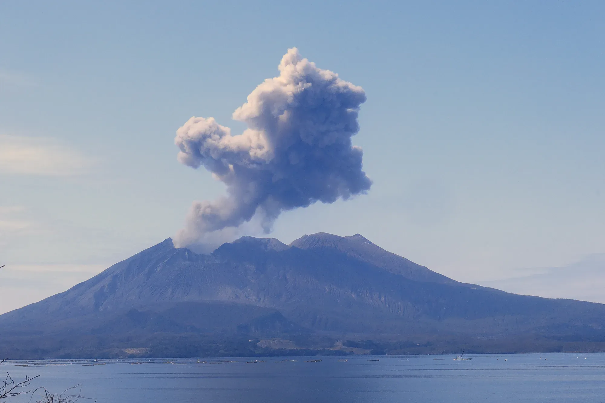
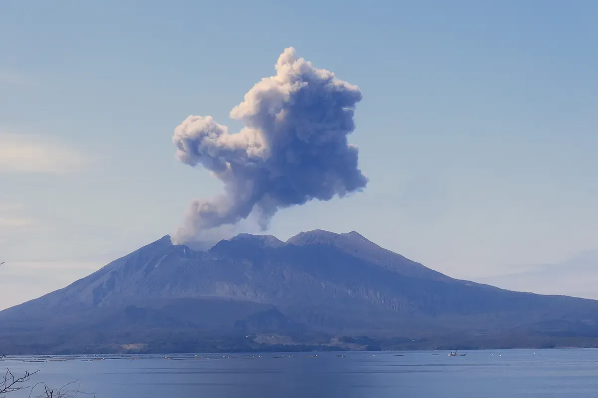
Sakurajima volcano sending up a plume of ash over Kagoshima Bay
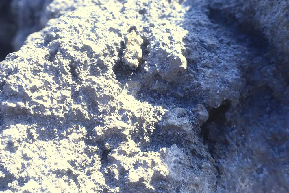
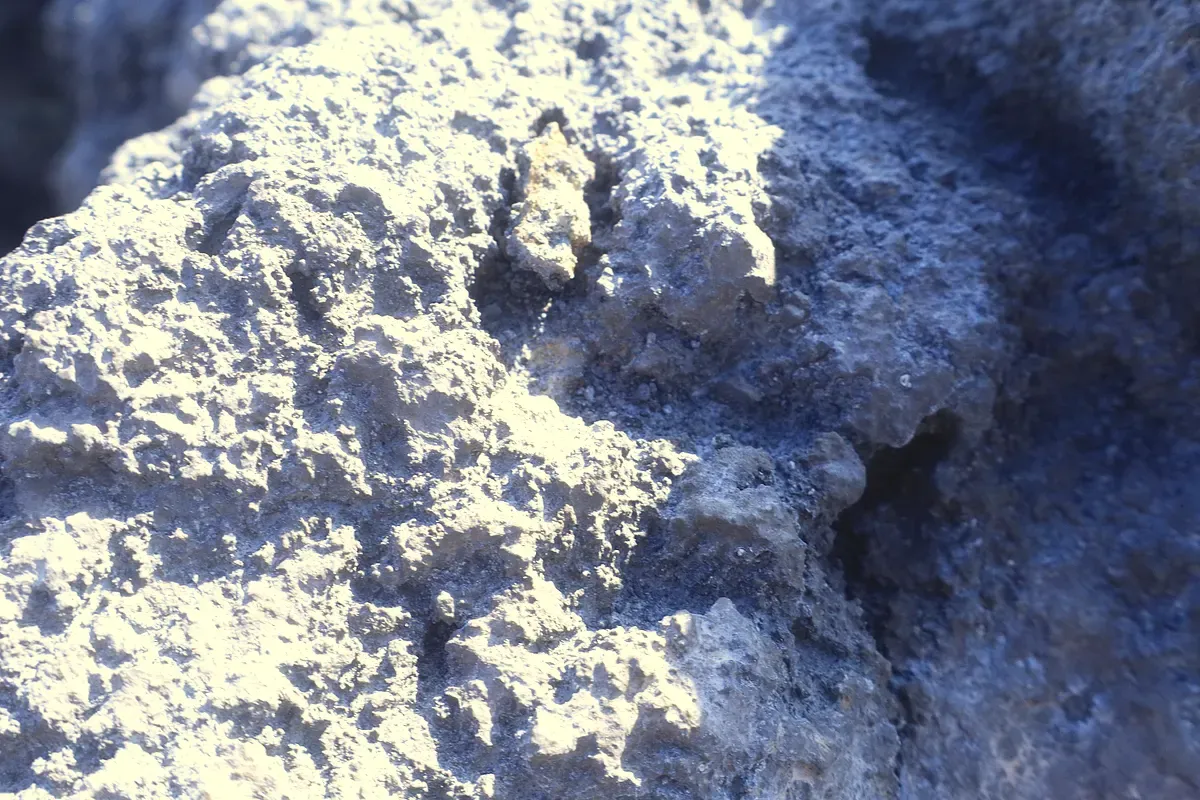
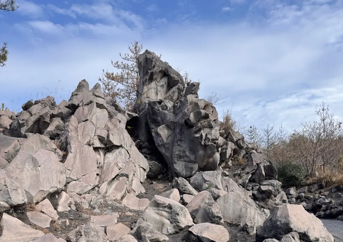
Black hardened lava rock from Sakurajima’s eruptions
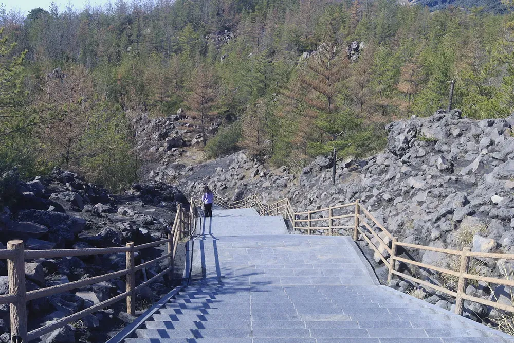
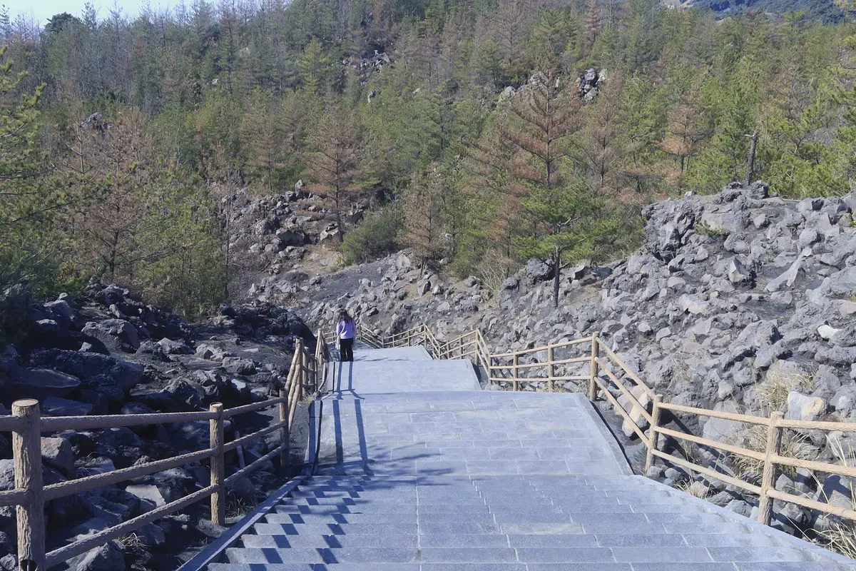
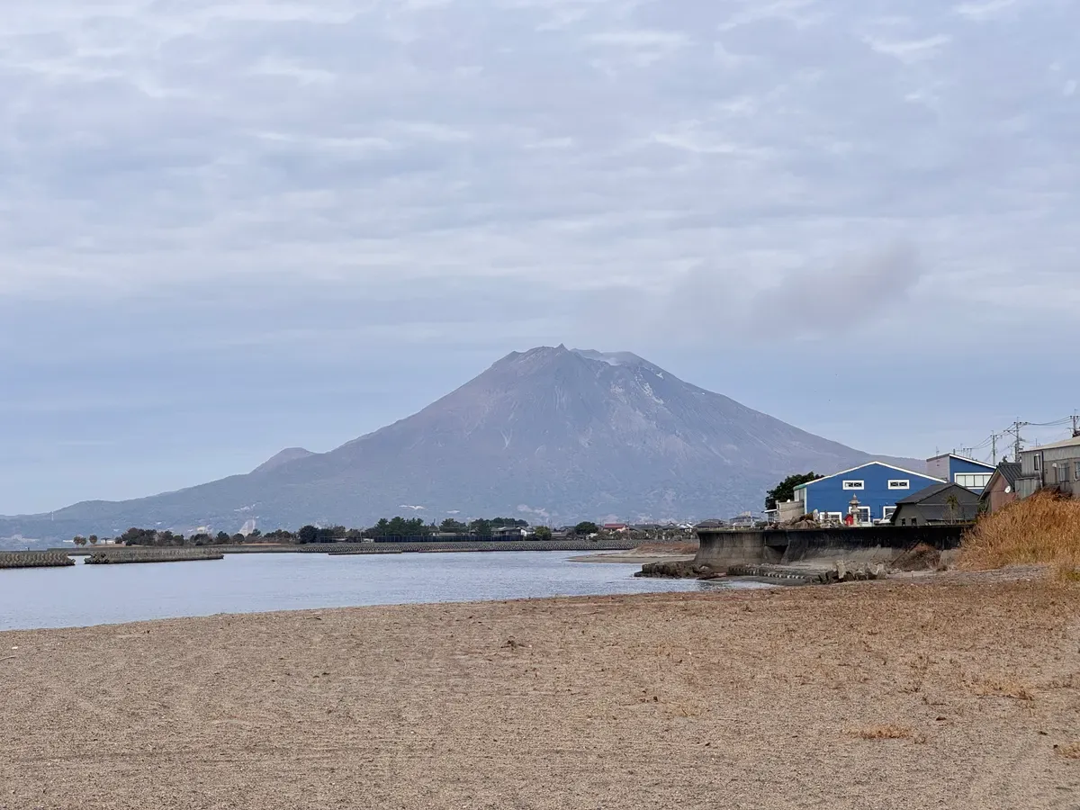
A coastal path beneath the ash-grey slopes of Sakurajima
桜島

no.07 — volcano

n 31.58° / e 130.66°

subtropic / ashfall

erupts almost daily

arrived — kagoshima

Sakurajima

fūdo — why this place is what it is

This is one of the most active volcanoes on Earth, and half a million people live in its ashfall. Kagoshima sweeps the grey from its streets like snow, grows sweet daikon and tiny oranges in the volcanic soil, and raises umbrellas against ash, not rain. To live here is to make a daily peace with the mountain.

Best time
Clear days for the plume; sunrise from the Kagoshima side.
Access
15-min ferry from Kagoshima Port (runs around the clock).
Note
Active volcano — check the JMA alert level before going close.

end of chapter one

Ten degrees of latitude.
One road.

Three stops of many. The archipelago keeps going — twenty more degrees of weather, and all the culture it grows. The camera is still warm.

back to index

photos & code — tree public squares

created by tree public square